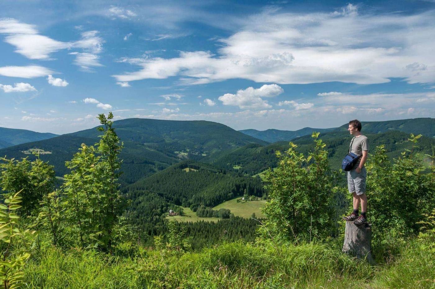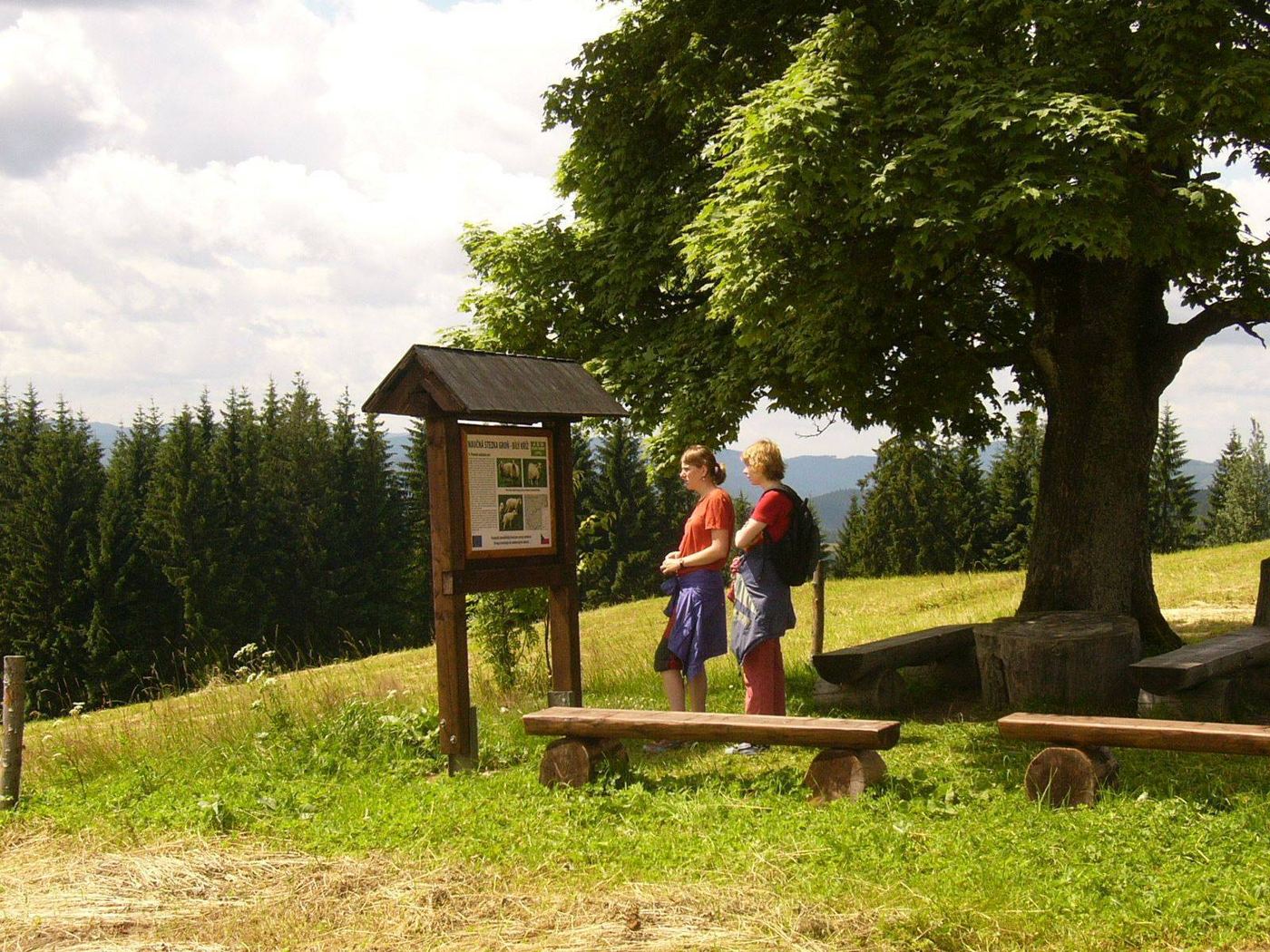
A hiker on a bench overlooking the forested ridges of the Beskids
Dům sv. JosefaGruň · Beskydy

Activities

Everything you can enjoy here

The lodge stands on the ridge, so the mountains begin right outside the door. Nineteen places of interest nearby, dozens of routes on foot, by bike and on cross-country skis, and winter fun right below the lodge.

Dům sv. JosefaGruň · Beskydy

Hikers, cyclists, cross-country and downhill skiers all have plenty of places to head for around Gruň. Choose the tab that interests you.

Around Gruň

Places of interest around Gruň

Nineteen places worth a trip: from the little church a few steps from the lodge to the Slovak pilgrimage site on Živčáková.

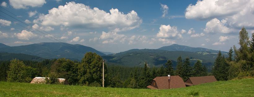
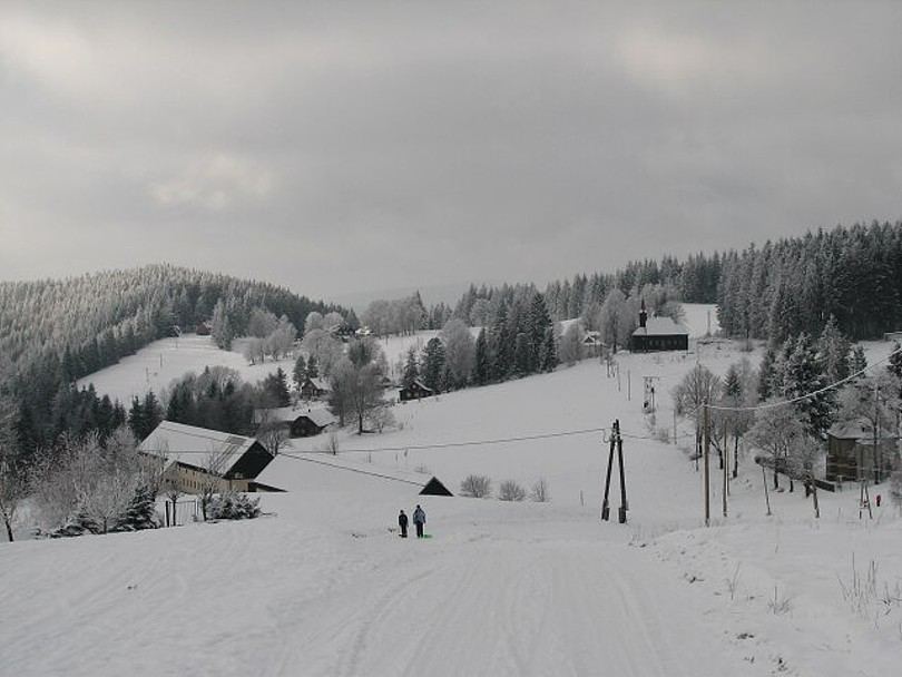
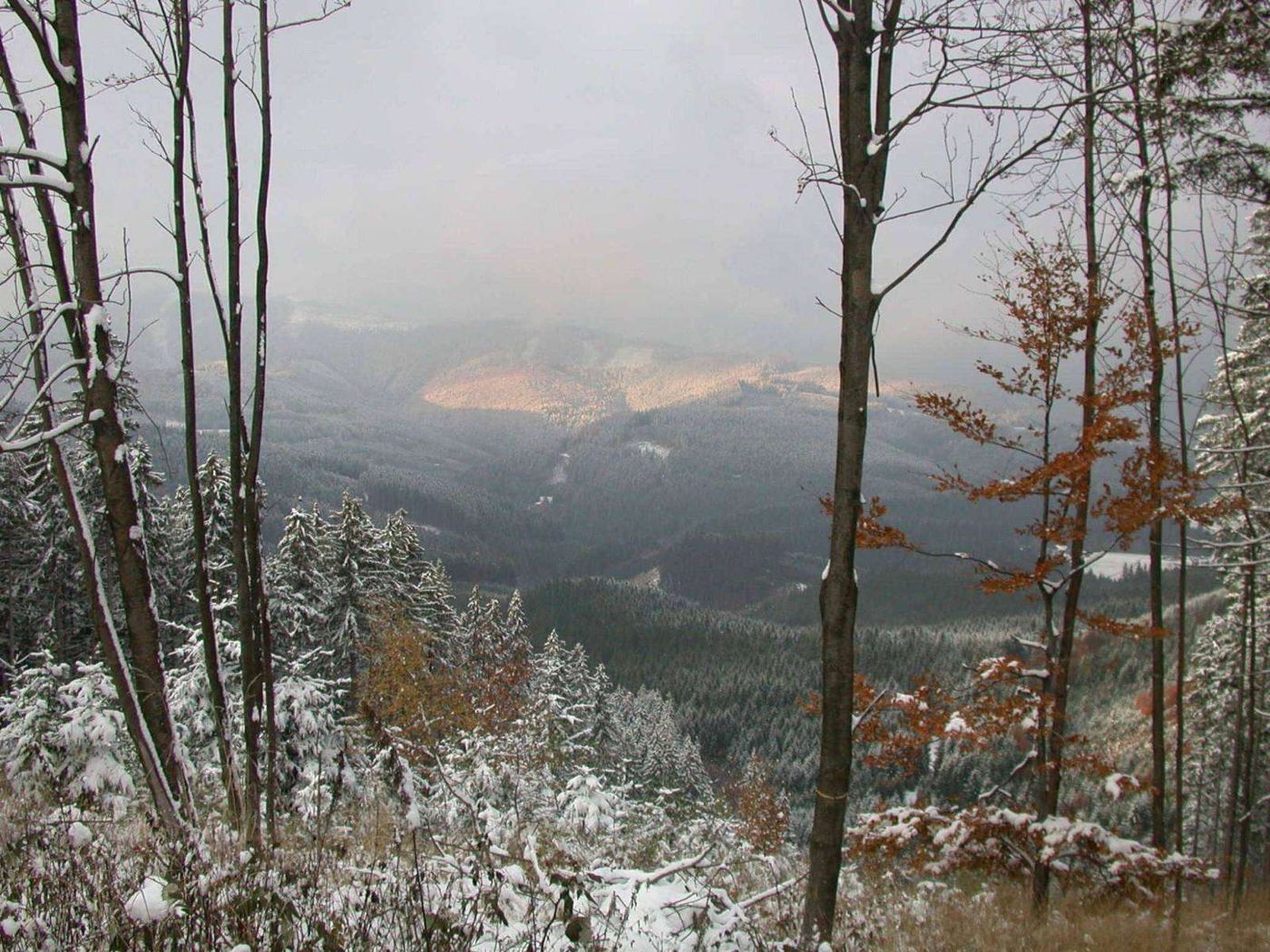
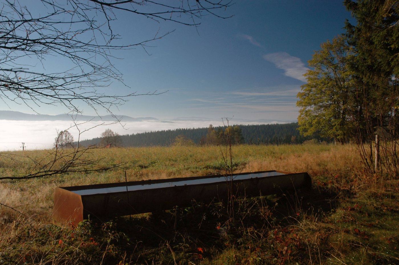
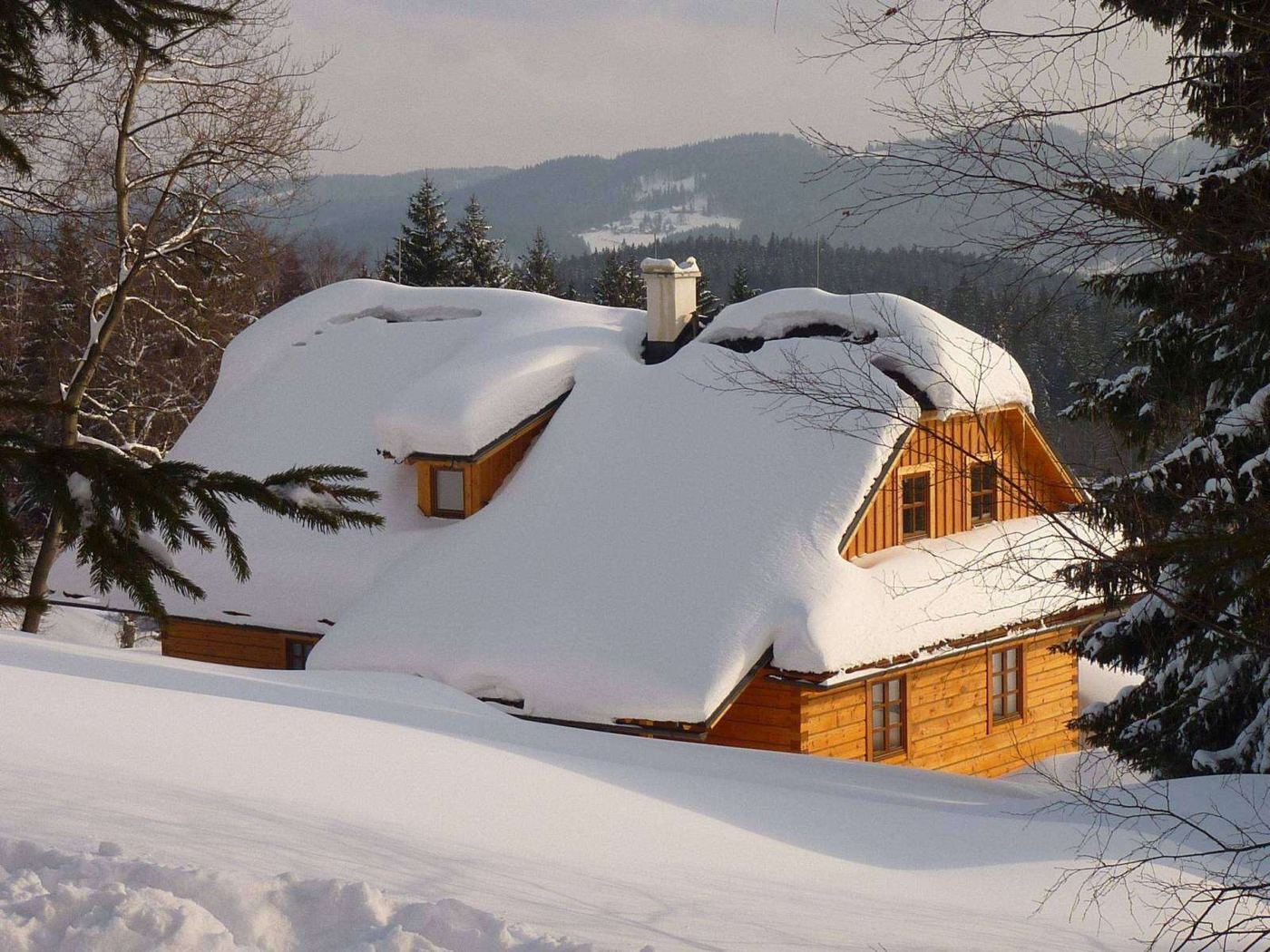
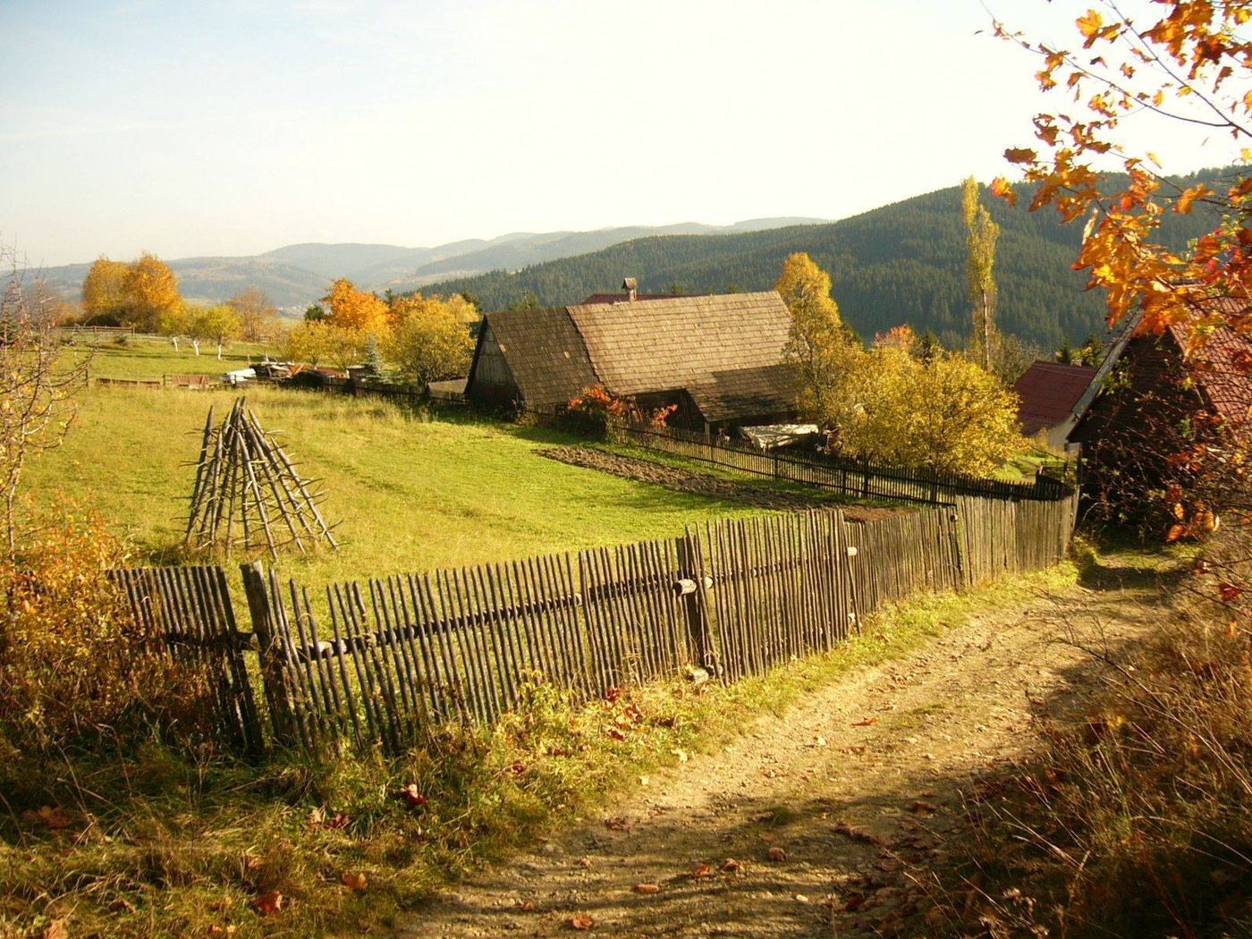
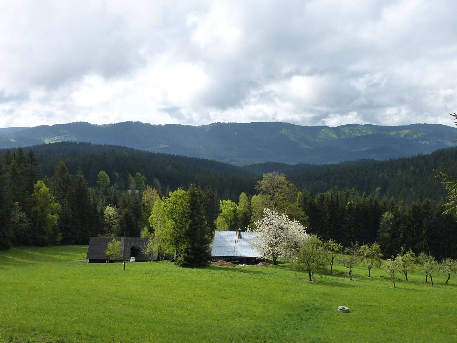
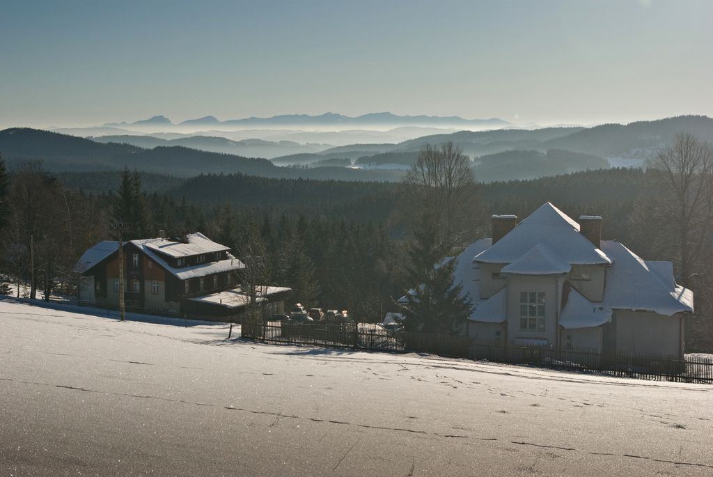
Meadow and cottages below the lodge with a view of the wooded Beskid ridges

Gruň ridge

Gruň is a long mountain ridge in the Zadní hory area of the Moravian-Silesian Beskids. Its ends are taken to be the Kotoščina area near Bílý kříž and the summit of Příslop. The hamlet of Gruň, part of Staré Hamry, lies on the ridge between the summits of Janikula and Kozlena.

The name Gruň comes from the Wallachian word of the same name for a deforested mountain ridge turned into pasture, the so-called Wallachian meadows. In the wider area you will find other, less prominent gruně, for example Mazácký grúnik on Lysá hora.

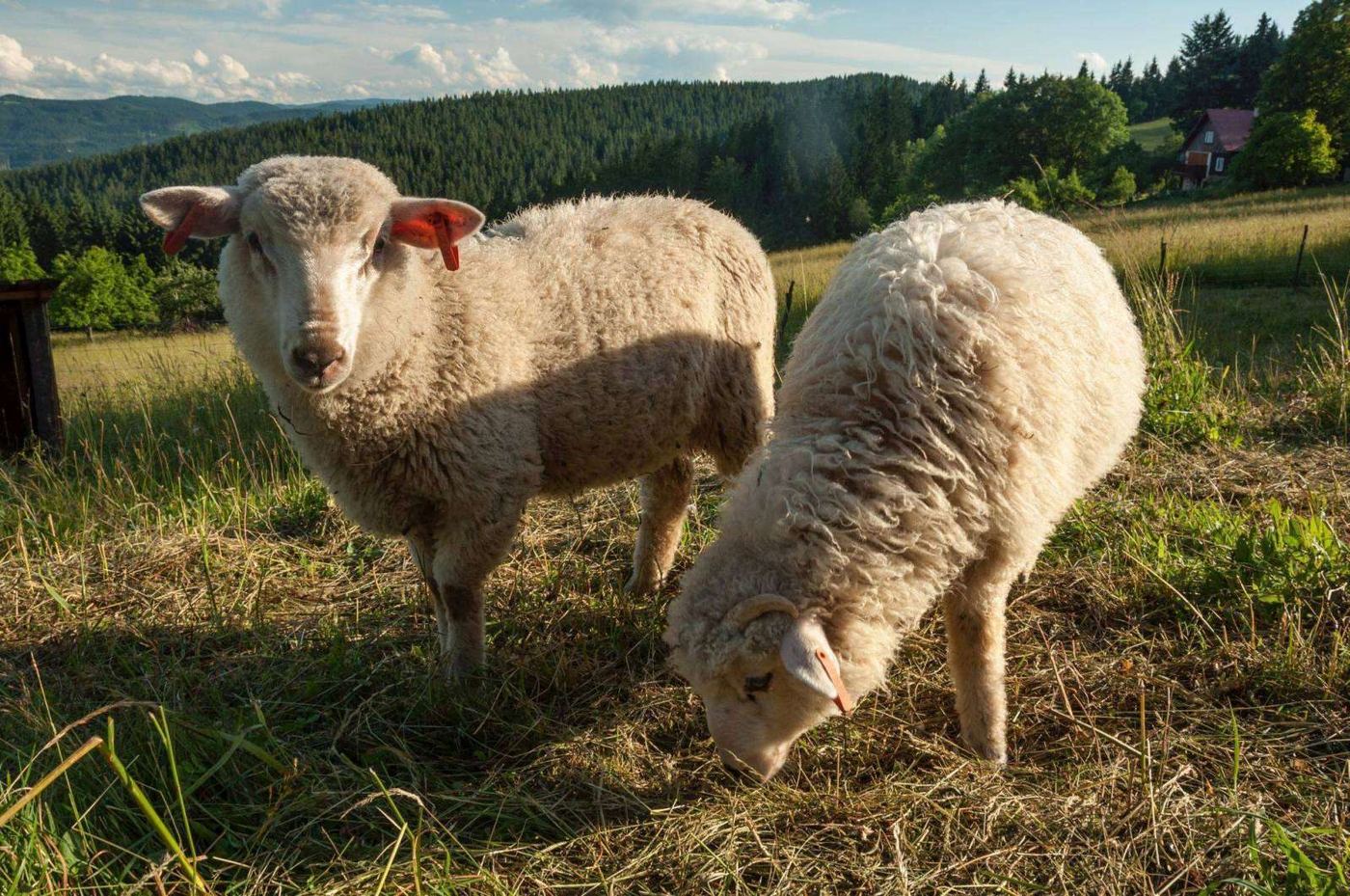
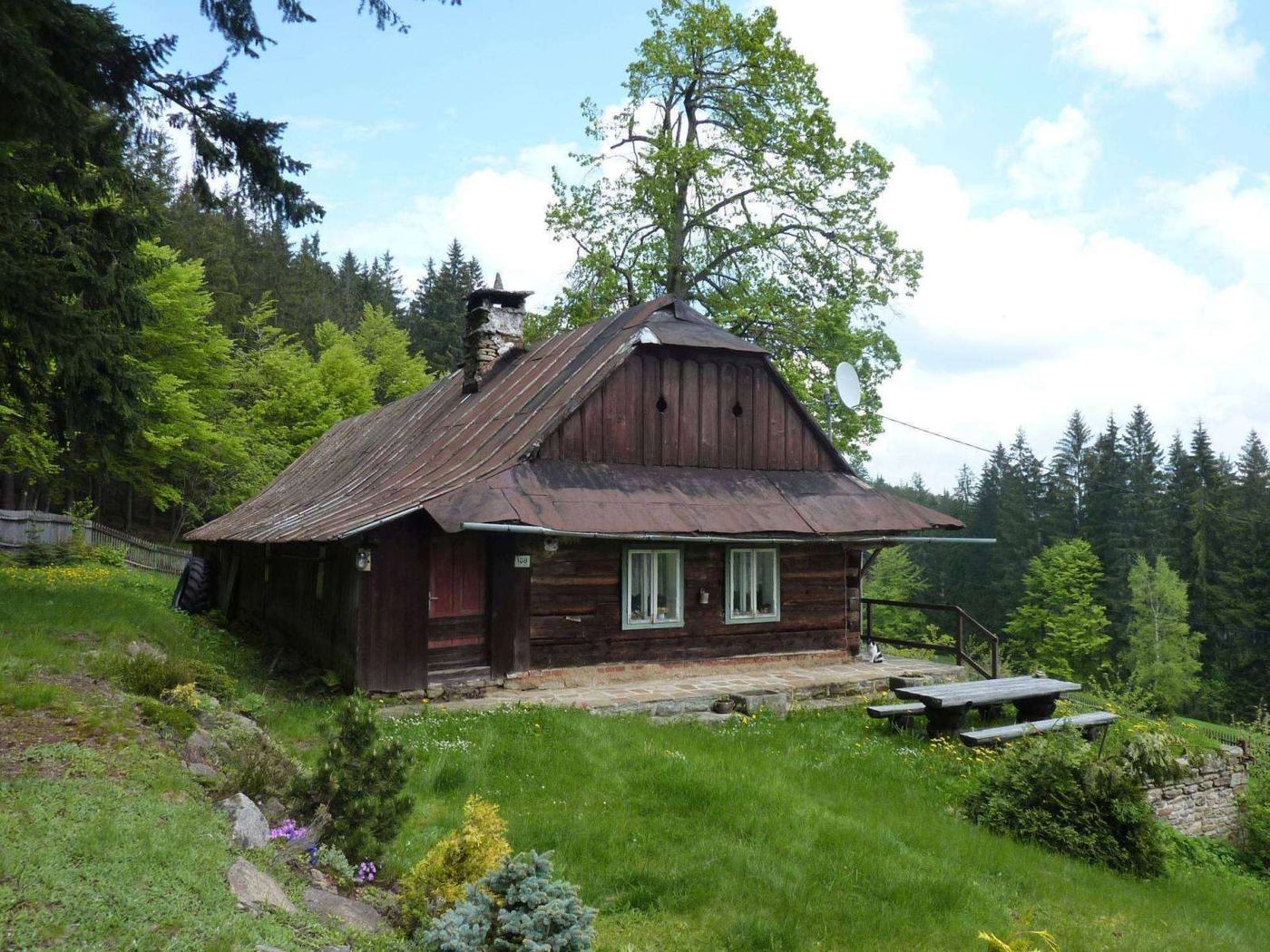
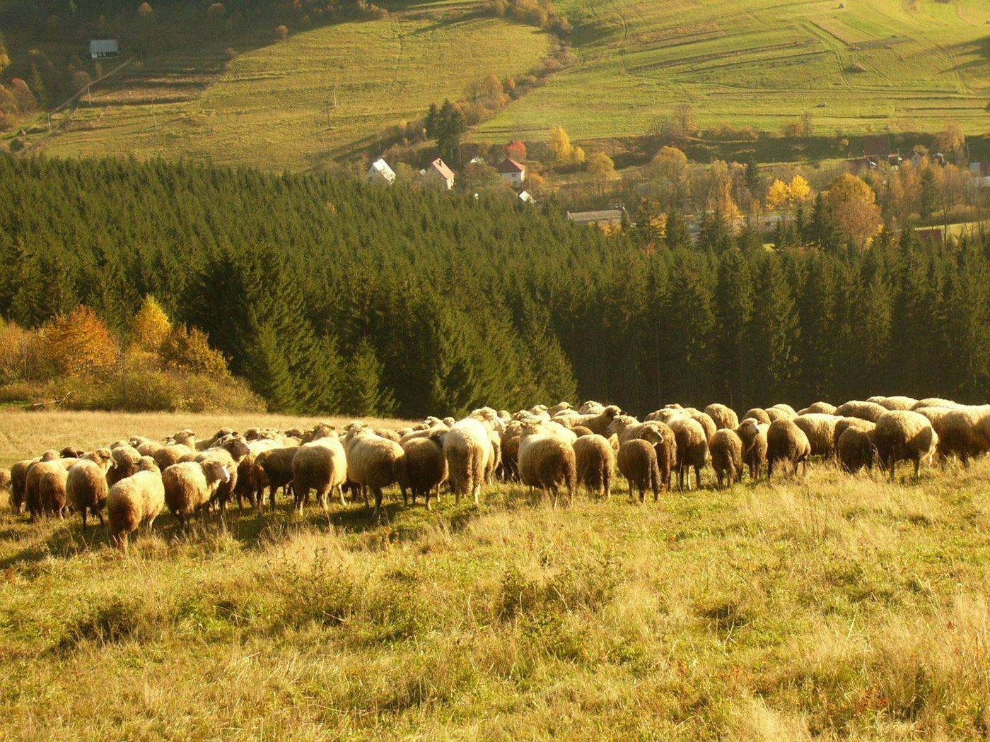
Sheep farming on mountain pastures used to be the main livelihood of the local people, and scattered wooden cottages, originally shepherds’ huts, survive along the whole ridge to this day. The hamlet had the most inhabitants during the wartime Protectorate; later many people moved away to the depopulated Sudetenland, some of the meadows were reforested and some of the huts became hikers’ chalets, such as Švarná Hanka or Charbulák. Sheep are still kept on Gruň today, and a special feature is the breeding of the rare Wallachian sheep.

The upper parts and the southern slope of the ridge are grassy and offer fine views of the Zadní hory, that is the ridge between Bumbálka and Bílý kříž, also known as the Klokočov Highlands, where the Beskids meet the Slovak Kysuce Protected Landscape Area. The path along the ridge is easy going without big climbs, which makes it popular with hikers and cyclists alike. In winter the untouched slopes invite walkers and cross-country skiers to roam the snowy landscape.

Gruň right now

Open the webcam
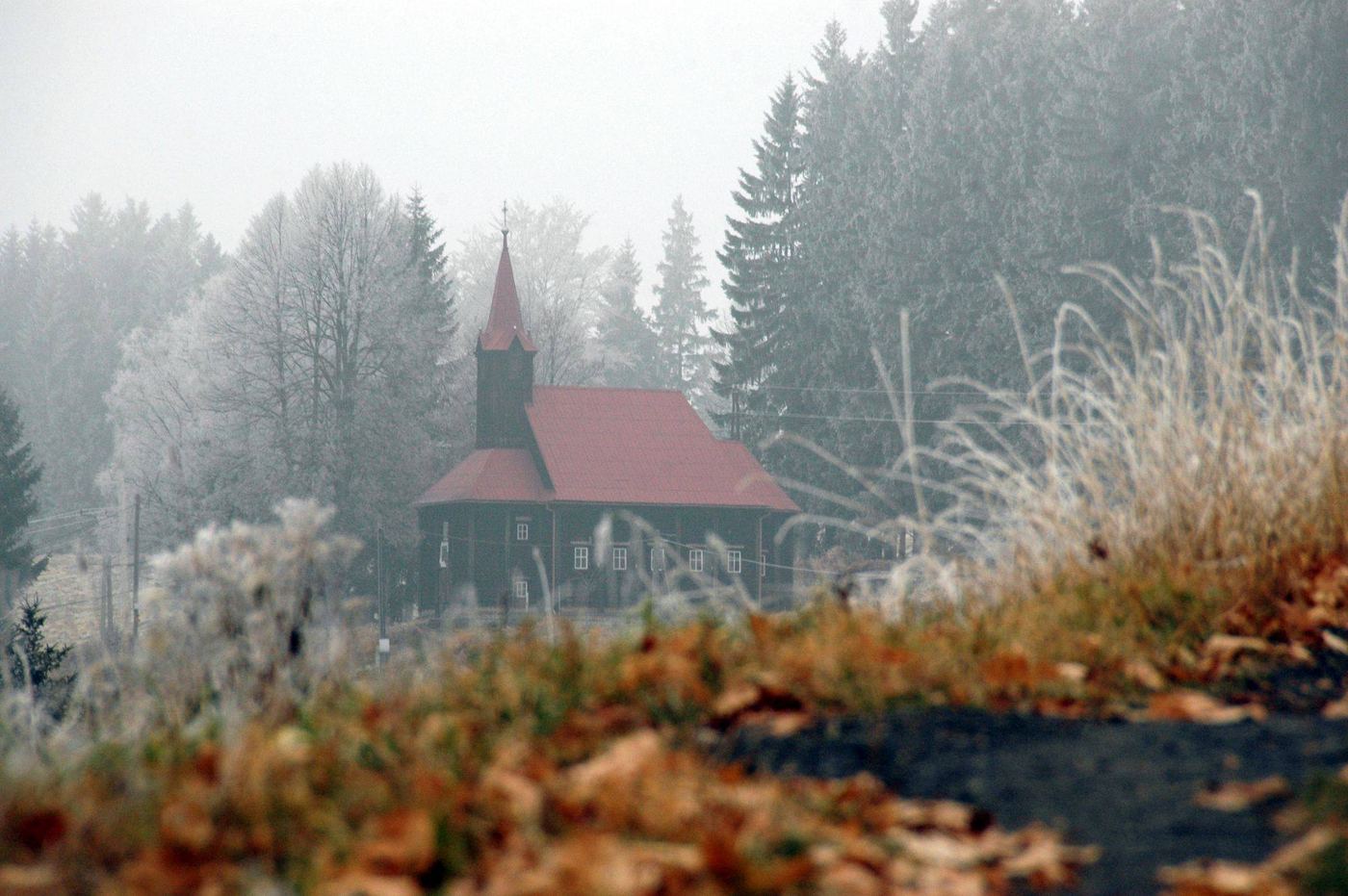
The wooden church of Our Lady Help of Christians on Gruň

Wooden church on Gruň

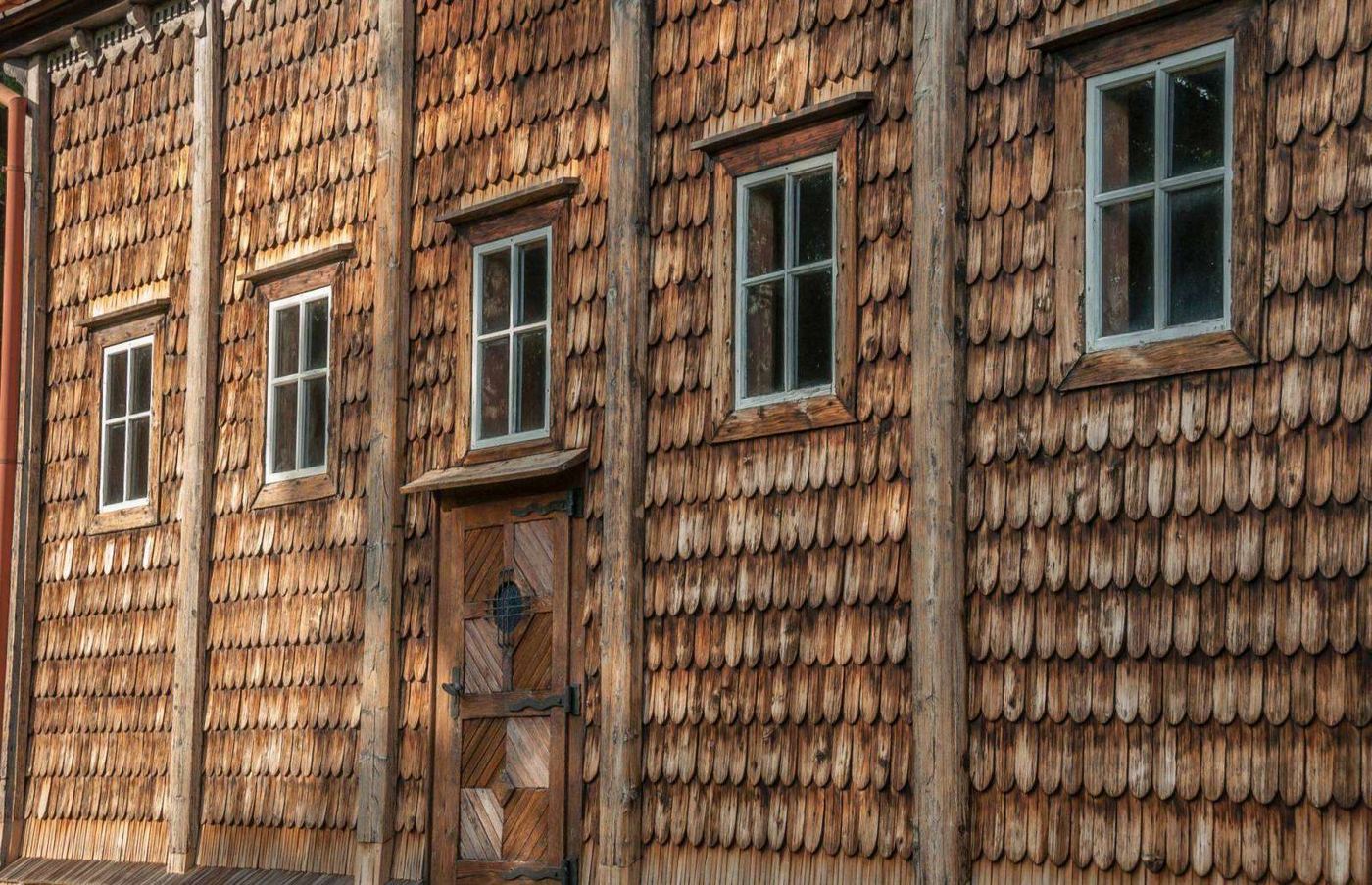
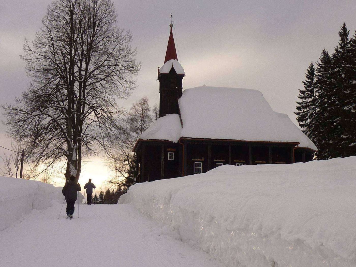
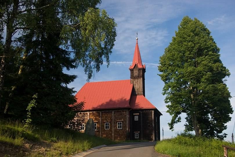
A few dozen metres from St Joseph’s House stands the wooden church of Our Lady Help of Christians. It is a log-built church of the Carpathian type, built by the local hill farmers and following the traditions of local folk architecture. From 1773 its site was marked by a stone statue of Our Lady of Frýdek, put up here by the hill farmer Šimon Tomeček. In 1847 a wooden chapel was built over it and pilgrimages began. The present church, dedicated to Our Lady Help of Christians, was built from 1887, completed in 1890 and consecrated in 1891.
The single-nave wooden building has its chancel facing east and shows the typical features of the late wooden churches of the Beskids. A spacious porch is separated from the equally spacious rectangular nave, which has a flat ceiling. The original shingle roof has been replaced with sheet metal, and above the entrance there is an inconspicuous sanctus turret. The church is 17 metres long and 10 metres wide, and its tower is 20 metres high.

Besides the well-preserved interior decoration, a moving detail is the household crosses hung near the altar: when the Šance reservoir was being built in Staré Hamry, people who had to leave the area to be flooded carried crosses and crucifixes from their cottages up the hill to the church and left them here, perhaps asking for protection in their new home, perhaps in thanks for the time they had spent in the Beskid mountains.

On 8 October 2002 the church was declared a cultural monument. Mass is celebrated here from time to time; the space lends itself to quiet reflection, and thanks to the good acoustics of the wooden nave and the two-stop organ it is also a rewarding venue for concerts and choral singing. On the Sunday before the feast of Our Lady Help of Christians (24 May) a pilgrimage takes place here, revived by our association Most a Cesta.

Stargazing through a large telescope in the Beskydy Dark Sky Park

Beskydy Dark Sky Park

Gruň lies at the heart of the Beskydy Dark Sky Park, declared in 2013. The Dark Sky Beskydy observatory is the only place in the Czech Republic where, in good weather, you can look into space through large astronomical telescopes every evening, far from the disturbing lights of towns. You will find it just a few minutes’ walk from the lodge, on the Gruň ridge at an altitude of just under 900 metres.

On moonless evenings this is the darkest place in the Moravian-Silesian Region. Thanks to the altitude, the dark sky and the large telescopes, it is also the place in the Czech Republic where you can see the most stars. Tours of the night sky are led by experienced astronomers and guides. Book in advance at darkskybeskydy.cz.

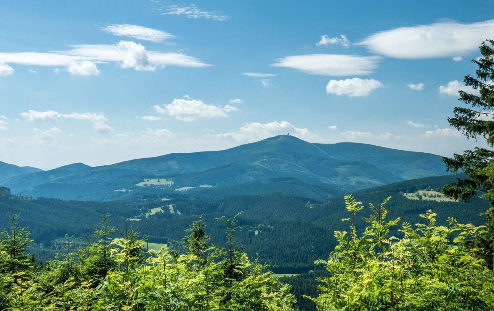
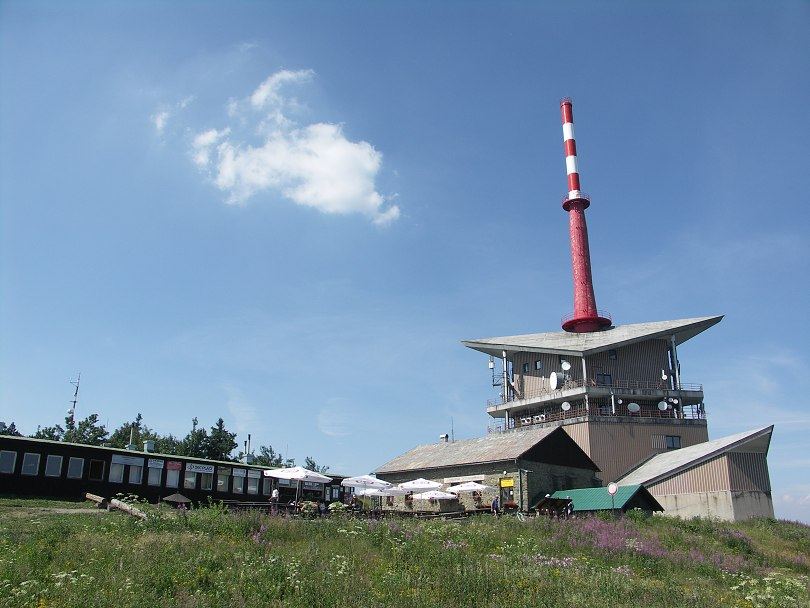
Lysá hora with its transmitter above the wooded Beskid ridges

Lysá hora

1,323 m above sea level

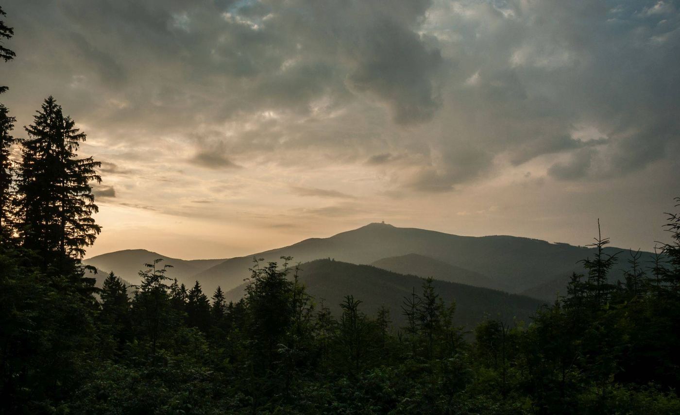
Lysá hora is the highest peak of the Moravian-Silesian Beskids and lies directly north of the Gruň ridge, between the villages of Krásná, Malenovice, Ostravice and Staré Hamry. The summit itself is nicknamed Gigula. Four spurs run out from it: Malchor, Zimný (Zimní Polana), Kobylanka (Velký Kobylík) and Lukšinec. The summit is an important junction of hiking trails.

The mountain and the whole of the Beskids inspired the Czech poet Petr Bezruč to write his collections of poems. The oldest hiking event in Europe, the so-called Bezručův výplaz, is also named after him. Maryčka Magdónová, known from his poem, is a literary character: according to tradition, a woman whose fate is said to have inspired the poet is buried in the cemetery in Pražmo.

Several nature reserves have been established in the Lysá hora massif: Mazák and Mazácký grúnik, Malenovický kotel, Vodopády Satiny, Koryto řeky Ostravice, Ondrášovy díry (Ondrašovy ďury in the local Lach dialect) and other, smaller ones on the edges of the massif. They protect spruce forests mixed with fir and beech, and areas of slope landslides.

Ondrašovy ďury has pseudokarst caves and crevices, which are also common in other parts of the mountain. Smaller rock formations have formed around the Mazák and Řehucí streams, and the Satina stream is known for its waterfalls. In the past the summit of Lysá hora was badly damaged by industrial logging.

In 1880 the Albrecht Habsburg refuge was built on the summit. In 1935 it was joined by a Czech Tourist Club chalet named after Petr Bezruč, even though Bezruč himself only ever visited the so-called German one and refused to attend the opening of the Czech one. In 1948 both were nationalised (the Albrecht Habsburg chalet was renamed Slezská chata), later merged, and in 1972 and 1978 both burned to the ground.

The summit was then left without a hikers’ chalet for many years, and visitors had only a makeshift snack bar called Šantán. Today’s Bezručova chata is a replica of the original: it opened in 2015 and is run by the Czech Tourist Club. Different in character are Horská chata Lysá hora, originally a hostel for forestry workers, and the Kameňák hikers’ hostel with room for up to 30 people.

The summit also has a mountain rescue station, open at weekends and on public holidays. Weather observations have been made here since 1897 (since 1954 in a new building of the Czech Hydrometeorological Institute), and since 1980 a 78-metre radio and telecommunications transmitter has stood here, forming the distinctive, if controversial, landmark of the summit.

Lysá hora right now

All Lysá hora cameras
The wooded summit of Smrk, the second highest mountain in the Beskids

Smrk

1,276 m above sea level

Smrk is the second highest mountain of the Moravian-Silesian Beskids. Together with Malý Smrk and other outlying peaks it forms a typical massif north-west of Gruň.

The Smrk Nature Reserve covers the summit and slopes. Lighting fires, camping overnight, picking plants and fruit and leaving the paths are prohibited; take your rubbish with you and keep quiet. Half a kilometre south of the summit stands the Klinská hunting lodge, and about 2 km along the marked trail towards Podolánky there is a spring by the Hubertka hunting lodge.

The view from the summit is limited, but views open up on the way up (from Ostravice). There is no chalet or restaurant on the summit, so Smrk is not among the most visited mountains. Even so, many people come here, because it is one of the most beautiful places in the Beskids. Below the summit there is a small memorial to John Lennon, and a little further on one to Jan Palach.

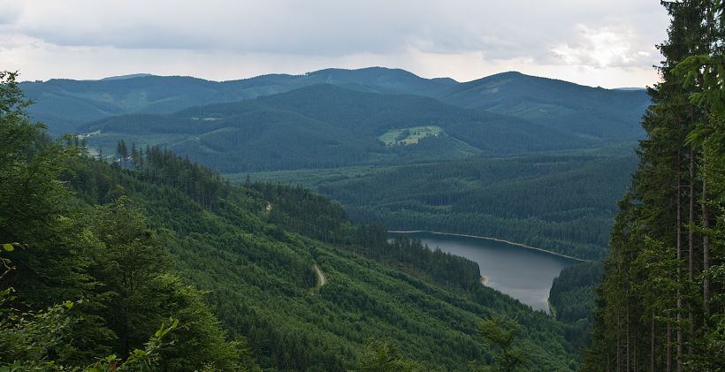
The Šance reservoir in the wooded Ostravice valley

Šance reservoir

The reservoir, completed in 1969, supplies drinking water to the Ostrava region, so it cannot be used for swimming or other sports. It shares its name with Šance hill south of the dam, where fortifications once stood against raids from the Hungarian side. The Masarykovo údolí nature trail runs near the reservoir.

Talk of a dam began in the early 1950s: on 26 August 1952 the government decided to flood the village, and the design of the dam was settled between 1952 and 1954. Neither protests nor petitions from residents helped. By the end of the 1950s, when electrification of Staré Hamry had only just been completed, the fate of the village was already sealed. Everything the people of Hamry had achieved and the modernisation of the thriving village disappeared under the water, including a new bridge, a sports ground, an extension to the fire station, a community room, a converted health centre, a gym, a sheepfold and a renovated cowshed.

The railway era ended too: trains had taken locals to work and brought tourists to Hamry and Bílá from all over the Ostrava region and from Prague, and the last train ran from Ostravice to Bílá on 11 January 1965. Remarkably, because of the threat of the dam, no collective farm was ever set up in the valley at Staré Hamry, so old trades survived here: the wheelwright, the blacksmith and the saddler.

Construction began in spring 1964 and deeply shook what had been a working, self-sufficient village: shops and buildings were demolished, but the promised replacement never came. Demolitions and the forced relocation of residents continued. Šance was put into operation in December 1969. The benefit of the reservoir for the Ostrava region and its people is undeniable, but it was bought at the price of a human tragedy and the insensitive destruction of a village that has not recovered from its wounds to this day.

Basic technical data: catchment area 146.4 km², dam crest length 342 m, maximum dam height 65 m, total reservoir volume 61.8 million m³, length of the reservoir 7.6 km, width of the reservoir 0.6 km, flooded area 337 ha, guaranteed outflow 2.3 m³/s.

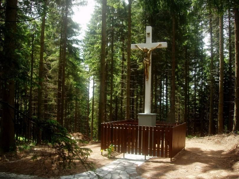
White wooden cross in the forest at the Bílý kříž crossroads

Bílý kříž

910 m above sea level

An important junction of hiking trails and a holiday area in a saddle of the border ridge with Slovakia. A large cross by the forest path recalls old clashes between smugglers and the customs guard.

Bílý kříž and Gruň are well-known names in the Beskids, and artists looking for rest and inspiration liked to come here often. On the left side of the path to Gruň you will see a large wooden cross painted white, which gave the whole area its name (Bílý kříž means White Cross). It recalls clashes between local smugglers (šverci) and customs officers (financi or abšauři), and a local legend tells how it came to be. Towards Gruň you will also come across an experimental ecological research station studying the effects of climate change on forests, recognisable by its giant greenhouses, the so-called spheres.

The saddle lies on the old border between Moravia and Silesia, and smugglers’ paths once led through here, mainly for salt and tobacco. Today Bílý kříž is one of the main junctions of the ridge trails: from Gruň you can walk here along the yellow trail (5 km) and continue to Konečná, Bobek or Sulov.

Read the legend linked to this place

Chapel on the summit of Radhošť under a cloudy sky

Radhošť

1,129 m above sea level

The summit of Radhošť lies 4 km from the Pustevny mountain saddle. It is bare and offers one of the most beautiful views of the Beskid panorama, the Vsetínské vrchy hills, the Javorníky, the Malá Fatra and the Western Tatras.

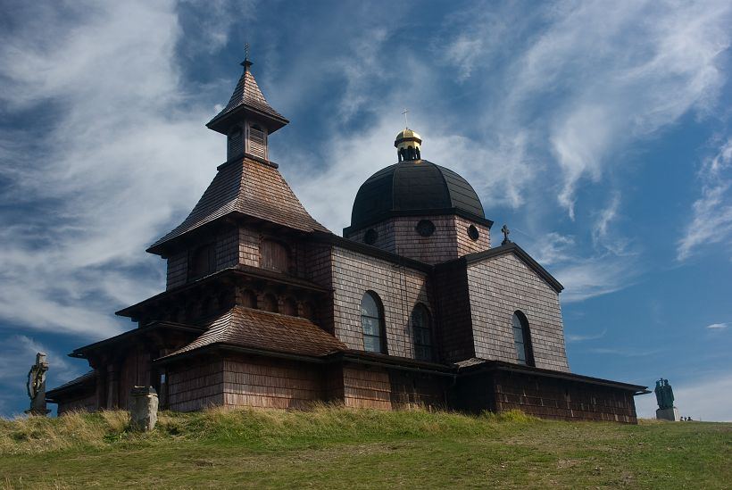
On the summit you will find the chapel of St Cyril and St Methodius, a statue of the two missionary saints, a cross and a television transmitter. On the way along the deforested ridge of Radhošť towards Pustevny you pass the famous statue of Radegast. The Radhošť massif is riddled with pseudokarst caves and is very popular with hikers: many trails lead over it and up to it.

More trip ideas

Staré Hamry

A village on the shore of the Šance reservoir. Its name suggests that there were once ironworks with water-powered hammers (hamry) here; part of the village, including the centre of the original Staré Hamry, was flooded by the reservoir. A striking landmark is the Gothic Revival church from the second half of the 19th century with its cemetery. At the corner of the cemetery wall stands a memorial to Maryčka Magdónová, a literary character from the verses of Petr Bezruč, made by Augustin Handzel in 1933. It recalls the Silesian Songs, thanks to which Hamry became widely known.

Visalaje

A junction of hiking trails and a mountain resort not far from Bílý kříž: a ski area, Penzion Beskyd and the Visalaje mountain chalet.

Súlov

A summit between Bílý kříž and the hamlet of Doroťanka. A path along the edge of a rock face leads all the way to the top of Súlov on the Moravian-Slovak border, to a natural formation known as a frost-shattered rock wall. The forest path winding just a few steps from the cliff edge is both romantic and mysterious. Several legends are connected with this place too.

Read the legend linked to this place

Ostravice river

The largest river of the Beskids has two sources: the Bílá Ostravice rises below Třeštík and Bumbálka, the Černá Ostravice below Bílý kříž. Since the Middle Ages it has divided the region into Moravia and Silesia (west and east). In the valley the Černá joins the Bílá to form the wild and dangerous Ostravice, which because of its fierceness used to be called Ostrá. A legend about the origin of the Černá Ostravice is connected with it.

Ostravice is also a village in the foothills of the Beskids: horse riding, an indoor swimming pool and a starting point for hiking trails.

Read the legend linked to this place

Bílá

A village in the valley of the Bílá Ostravice. Its notable landmarks include the wooden church of St Frederick, inspired by Nordic architecture, and a hunting lodge. Below Zbojnická hill the leaders of two outlaw bands, Jánošík and Ondráš, are said to have once met. In winter there is a ski area.

Rožnov pod Radhoštěm

Wallachian Open Air Museum, outdoor swimming pool, indoor swimming pool.

Hukvaldy

Castle ruins, the Janáček music festival.

Štramberk

The Trúba lookout tower, log houses, the Zdeněk Burian Museum, the Šipka cave and a local pastry speciality, Štramberk ears.

Kopřivnice

Technical museum of cars, lookout tower on Bílá hora.

Súkenická lookout tower

A view stretching from the Jeseníky mountains all the way to the Roháče in Slovakia.

Turzovka

A well-known Slovak pilgrimage site on the Živčáková mountain.

On foot

Hiking

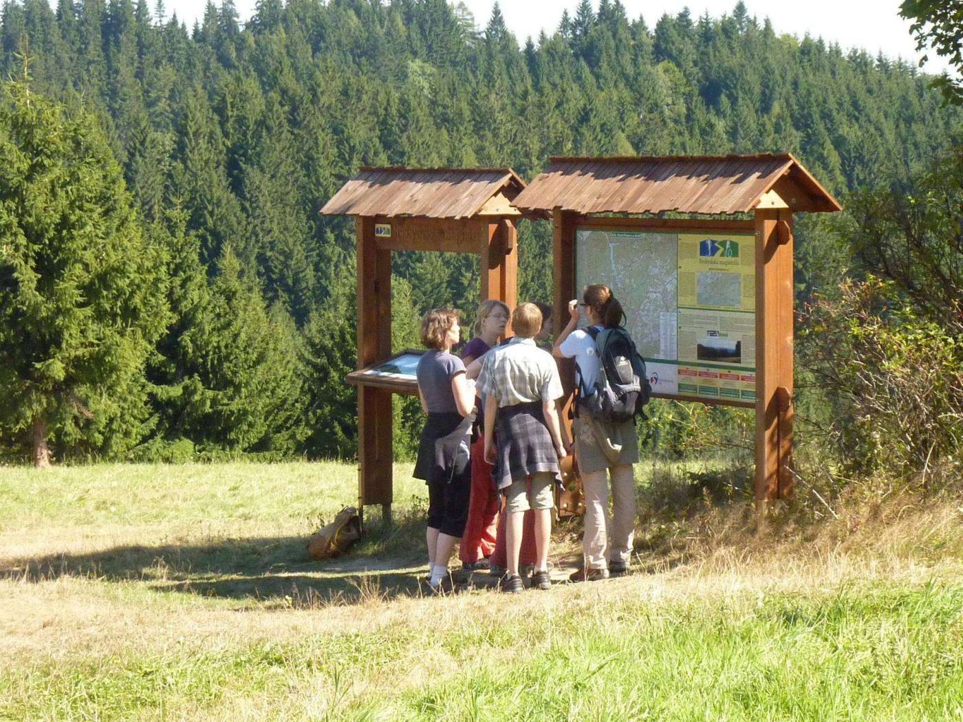
From spring to autumn, the Gruň ridge offers countless paths and mountain trails.

They lead to well-known hiking destinations as well as to places people visit less often. Once you see the view of the surrounding hills, you will want to take at least a few steps towards them. You can set off on foot, by bike, or combine the two. On the way back you can go horse riding or cool off at one of the nearby swimming pools; you will find tips in the By car tab.

All routes start at Dům sv. Josefa (DsJ).

1. On foot

A) Short easy routes

Visalaje12 kmRoute on Mapy.com

DsJ → Smrkovina (, 2.5 km) → Visalaje junction (, 3 km) → Těšiňoky (, 3.5 km) → Poledňana (, 2 km) → Kozlena (, 1 km).

Těšiňoky9.5 km

DsJ → Kozlena (, 0.5 km) → mouth of the Poledňana (, 3.5 km) → Těšiňoky (, 2 km) → Poledňana (, 2 km) → Kozlena (, 1 km) → DsJ (, 0.5 km).

Bílý kříž10 kmRoute on Mapy.com

DsJ → Kozlena (, 0.5 km) → Bílý kříž (, 4.5 km) and back.

Janikula4 kmRoute on Mapy.com

DsJ → car park by the mountain rescue station, then along the road. At the sharp bend, carry straight on for about 2 km to the Svornolka junction (two cottages), where you meet the yellow trail crossing the path you came along. Follow the yellow trail uphill, and from the Janikula junction return to the car park by DsJ.

Školeny6.5 kmRoute on Mapy.com

DsJ → as on the previous route; at the Svornolka junction carry on along the road for about 1 km. At the cottage on the left, turn left and climb about 800 m to the hamlet of Školeny. Here you join the blue trail coming from the Černá junction. Turn left towards Janikula and from there follow the yellow trail back to Gruň.

B) Medium-length routes

Vyšní Mohelnice, Těšiňoky14.5 kmRoute on Mapy.com

DsJ → Kozlena (, 0.5 km) → Smrkovina (, 2.5 km) → Visalaje junction (, 3 km) → Vyšní Mohelnice, junction with the green trail (, 2.5 km) → Těšiňoky (, 2.5 km) → Poledňana (, 2 km) → Kozlena (, 1 km) → DsJ (, 0.5 km).

Bílý kříž, Visalaje13.5 kmRoute on Mapy.com

DsJ → Kozlena (, 0.5 km) → Bílý kříž (, 4.5 km) → Visalaje (, 2.5 km) → Smrkovina (, 3 km) → Kozlena (, 2.5 km) → DsJ (, 0.5 km).

Visalaje15 km

DsJ → Kozlena (, 0.5 km) → Bílý kříž (, 4.5 km) → Visalaje (, 2.5 km); at the Way of the Cross junction carry on along the yellow trail to the junction with the green one and follow it all the way to Bílý kříž → Kozlena (, 4.5 km) → DsJ (, 0.5 km).

C) Demanding routes

Lysá hora27 kmRoute on Mapy.com

DsJ → Kozlena (, 0.5 km) → Bílý kříž (, 4.5 km) → Visalaje junction (, 2.5 km) → Vyšní Mohelnice junction (, 2.5 km) → Lysá hora (, 5.5 km) → Vyšní Mohelnice junction (, 5.5 km) → Těšiňoky (, 2.5 km) → Poledňana (, 2 km) → Kozlena (, 1 km) → DsJ (, 0.5 km).

Konečná18 km, more demanding climbs

DsJ → Kozlena (, 0.5 km) → Bílý kříž (, 4.5 km) → Konečná (, 6.5 km) → Švarná Hanka (, 5 km) → Kozlena (, 1 km) → DsJ (, 0.5 km).

Černá Ostravice12.5 km, more demanding climbsRoute on Mapy.com

DsJ → Janikula (, 1.5 km) → Černá junction (, 3 km), then briefly along the green trail on the main road, then beside the little Černá Ostravice river to the junction with the blue trail → Švarná Hanka (, 3 km) → Kozlena (, 1 km) → DsJ (, 0.5 km).

Staré Hamry, Janikula8 km, more demanding climbsRoute on Mapy.com

DsJ → Staré Hamry, school (, 4.5 km along the road) → Janikula (, 2 km) → DsJ (, 1.5 km).

2. On foot and by bus

Bumbálka, Bílý kříž29 km

DsJ → Janikula (, 1.5 km) → Černá junction (, 3 km), by bus to Bumbálka → Hluchanka (, 6 km) → Bobek (, 3.5 km) → Konečná (, 3.5 km) → Bílý kříž (, 6 km) → DsJ (, 5.5 km). A beautiful ridge route for those who like a challenge.

Bumbálka, Konečná20.5 km

DsJ → Janikula (, 1.5 km) → Černá junction (, 3 km), by bus to Bumbálka → Hluchanka (, 6 km) → Konečná (, 3.5 km) → Švarná Hanka (, 5 km) → DsJ (, 1.5 km). For those who like a challenge.

3. On foot and by car

Bumbálka, Velká Smradlavá valley17 km

By car to Bílá, to the Jednota shop (car park). Then on foot past the wooden Church of St Frederick; after 300 m turn left onto the green trail and continue past Zámeček into the Velká Smradlavá valley (hydrogen sulphide spring): Bílá → Velká Smradlavá valley (, 3 km) → Salajka (, 2.5 km) → Bumbálka (, 2.5 km) → Beskyd lodge (, 2 km) → Smradlavá valley (, 4 km) → Bílá (, 3 km).

Bobek, Velká Smradlavá valley12.5 km

Bílá → Velká Smradlavá valley (, 3 km) → Hluchanka (, 3 km) → Bobek (, 3.5 km) → Bílá (, 3 km).

Beskyd lodge, Velká Smradlavá valley17.5 km

Bílá → Velká Smradlavá valley (, 3 km) → Hluchanka (, 3 km) → Beskyd lodge (, 4.5 km) → Velká Smradlavá valley (, 4 km) → Bílá (, 3 km).

Radhošť, Pustevny8 km

By car to Pustevny, then on foot along the red trail to Radhošť and back. Beautiful views.

By bike

Cycling

The gentle ridge is ideal for bike rides, from shorter loops to more demanding trips to the surrounding hills.

All routes start at Dům sv. Josefa (DsJ).

Shorter routes

Mouth of the Poledňana

DsJ → Kozlena junction () → mouth of the Poledňana () → Visalaje () → Bílý kříž () → DsJ ().

Bílý kříž, Černá junctionRoute on Mapy.com

DsJ → Bílý kříž (), down into the Černá Ostravice valley to the military bridge (), turn right onto the tarmac road, Černá junction, turn left onto the main road towards Staré Hamry, after about 0.5 km turn onto a smaller tarmac road, straight on at the crossroads with the yellow trail; at the sharp bend it joins a wide road, turn right to Hotel Charbulák () → DsJ.

Konečná, Černá junction, Armaturka

DsJ → Bílý kříž () → Konečná () → Černá junction (see the route Bílý kříž, Černá junction) → Staré Hamry (), then along the green trail, turn left onto the tarmac road towards the Armaturka lodge, ski MSA, with the ski slope on your right (on the northern slope), climb to Hotel Charbulák → DsJ ().

Medium routes

Lysá horaRoute on Mapy.com

DsJ → Bílý kříž () → Visalaje () → Vyšní Mohelnice () → Lysá hora () and back along the red trail. After 2.5 km turn sharp right onto a forest track towards the Šance reservoir (not along the yellow trail). At the junction with the blue trail turn left onto the tarmac road past the reservoir, Jamník. Then either to Armaturka and Charbulák (see the shorter route Konečná, Černá junction, Armaturka), or along the green trail to the car park and Hotel Charbulák → DsJ.

Longer routes

On the longer routes the distance depends on the variant you choose, so we do not give a total.

Travný, Morávka reservoir

DsJ → Bílý kříž () → Visalaje () → Vysoký Rykali (); past the junction with the yellow trail turn left onto a forest track, traverse Travný hill, junction with the blue trail, turn sharp right towards Malý Travný, junction with the green trail, turn sharp right, descend all the way to the yellow trail towards the Morávka reservoir, Salma lodge, turn right, first along the blue trail, then along the tarmac road past the reservoir, straight on at the crossroads with the yellow trail, along the Morávka river to the hamlet of Juřičuna, turn right along the stream and then along a forest track towards Visalaje, Bílý kříž () → DsJ ().

Malý Polom, Slavíč and beyond

DsJ → Bílý kříž () → Malý Polom () → Slavíč (). From here the routes split: to the Morávka reservoir (, for the way back see the route Travný, Morávka reservoir); to Lipí hill and the Na Kotaři lodge (), then back along the blue trail towards Morávka, after 0.5 km turn left onto a gravel forest road, then along the green trail and on past the Morávka reservoir; or to Ostrý and Velká Kykula via Kalužný vrch (), the Ostrý lodge () and Velká Kykula (), returning the same way via Malý Polom and Bílý kříž.

Malý Polom, Hotel Tetřev

DsJ → Bílý kříž () → Malý Polom () → Bukový vrch () → Velký Polom () → Hotel Tetřev () and back the same way.

Konečná, Bumbálka, Salajka

DsJ → Bílý kříž () → Konečná () → Bobek () → Hluchanka () → Beskyd hill () → Bumbálka () → Salajka () → Mezivodí () → Bílá (tarmac road) → Černá junction (), then along the smaller tarmac road to DsJ (see the shorter route Bílý kříž, Černá junction).

Trips

By car

Where to go by car: castles, museums, lookout towers and swimming pools in the area, plus tips for horse riding and bowling.

Rožnov pod Radhoštěm38 km

Wallachian Open Air Museum, outdoor swimming pool, indoor pool.

Radhošť1,129 m a.s.l.

A historic mountain of the Beskids with a chapel and a statue of Saints Cyril and Methodius on the summit, and beautiful views. Towards Pustevny stands a statue of Radegast.

Hukvaldy35 km

Castle ruins, Janáček music festival.

Štramberk37 km

The Trúba lookout tower, timbered houses, the Zdeněk Burian Museum, the Šipka cave, Štramberk ears (the local spiced pastry).

Kopřivnice34 km

Technical museum of cars.

Bílá hora557 m a.s.l.

Lookout tower on the way between Kopřivnice and Štramberk.

Súkenická lookout tower25 km

Views from the Jeseníky mountains all the way to the Roháče in Slovakia.

Konečná

A hamlet with a fitting name (konečná means “the end of the line”), the last village on the way from Moravia to Slovakia (border crossing). You can stop for refreshments at the international restaurant, the Pod Konečnou mountain lodge: a Czech pub with charming Slovak staff, where you can pay in either currency.

Turzovka25 km

A well-known Slovak pilgrimage site on Živčáková mountain.

Swimming

Horní Bečva

Reservoir.

Bílá

Small outdoor pool, minigolf.

Rožnov pod Radhoštěm

Outdoor pool, indoor pool.

Zubří

Heated outdoor pool.

Frýdlant nad Ostravicí

Outdoor pool.

Hotel Montér, Ostravice

Indoor pool, tel. +420 558 682 108.

Hotel Odra, Ostravice 397

Indoor pool and sauna, tel. +420 558 682 287.

Hotel Petr Bezruč, Malenovice 327

Indoor saltwater pool, tel. +420 558 675 341.

Kotelna sports and relaxation centre, Frýdlant nad Ostravicí

Indoor pool, whirlpool, massage rooms, tel. +420 558 439 684, +420 737 248 281.

Horse riding

Malenovice riding school and equestrian club

Riding lessons, hacks out into the countryside, training for riders with their own horse, pony rides for children.

Horní Bečva riding school, Ráliška

Slavíč riding school

Muchovice

Bowling

Hotel Montér, Ostravice

Tel. +420 558 682 108, free entry to the swimming pool for players.

December to March

Winter on Gruň

Snow stays on the ridge for a long time: ski slopes, lifts and cross-country trails start practically at the lodge door.

Many a skier dreams of the snowy ridge of Gruň. Thanks to the altitude, snow usually arrives right at the start of winter and lasts until the end of the season. The slopes, lifts and cross-country trails suit skiers of every kind, from beginners (children above all) to experienced skiers. But winter on Gruň is not just slopes and lifts: above all it is a beautiful place in the mountains that most visitors are glad to come back to.

Statistically, the Beskids are among the areas with the most snow cover in the Czech Republic (Lysá hora has the highest annual precipitation in the country). Cross-country and downhill terrain from 700 m upwards can therefore be used all winter, and the snow stays well into spring.

Right below the lodge

Gruňský ledovec

A community ski lift and slope on the northern side of Gruň, run by the Gruňský ledovec z. s. association, founded in autumn 2020 on the initiative of people living in the settlement. The Tatrapoma Kežmarok lift from 1986 is 250 m long, sits at an altitude of 820 m and is rated blue to green: people have been skiing on this slope since the mid-1980s. Next to the slope there is a separate run for sledges and snow bobs, ideal for families with children.

Regular hours are usually 9:00 to 16:00 and evening skiing 18:00 to 21:00, depending on the calendar on the association's website and the wishes of the community. For groups of more than 10 paying people, the association will run the lift on request even outside regular hours, which comes in handy when you are staying right at the lodge.

The slope also hosts the International Championship of the Czech Republic in Historical Skiing, usually in January: period equipment and a great show for spectators, organised by the Elegant association.

Opening hours and prices at grunskyledovec.cz
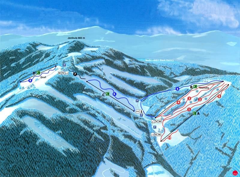
Map of the slopes and lifts of Ski Park Gruň

Ski Park Gruň

formerly SKI MSA, Gruň

A ski area on the north-eastern slope of Gruň in the Poledňana valley, with the bottom station at an altitude of about 750 m (Staré Hamry 51) and the upper part near the ridge. It offers 6 slopes (3 red, 2 blue and 1 children's slope) with a total length of 3.86 km, a 550 m two-seater chairlift, two drag lifts and a children's rope tow, with a total capacity of 3,000 people per hour. The slopes are groomed daily and two of them are homologated for races.

The resort has a ski and snowboard school, equipment rental, a ski service, accommodation and a restaurant. It used to operate under the name SKI MSA, Gruň. Thanks to its position on the ridge, there is usually a stable snow cover from December to March. You will find current opening hours and prices on the resort's website.

Upper webcam

Current conditions
skipark-grun.cz
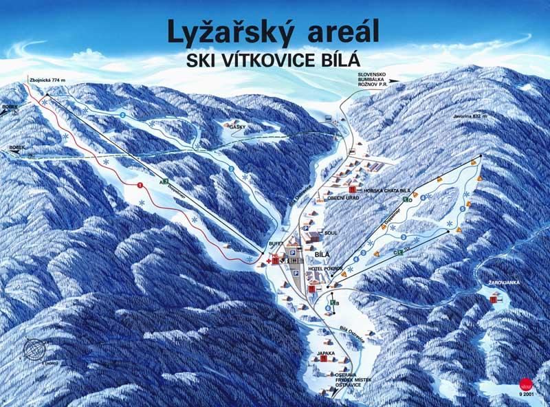
Map of the slopes of the SKI Bílá ski area

SKI Bílá

formerly SKI Vítkovice, Bílá

A larger ski area in the valley, about 10 km from the lodge by car via Staré Hamry. It offers 8 slopes plus another 4 in Mezivodí, more than 5 km of slopes groomed daily and covered with artificial snow, and the heated six-seater chairlift Zbojník II. Evening skiing runs on the southern side daily except Sunday from 18:00 to 21:00, and on the northern side from Tuesday to Saturday at the same times. The area has a ski school and rental shops.

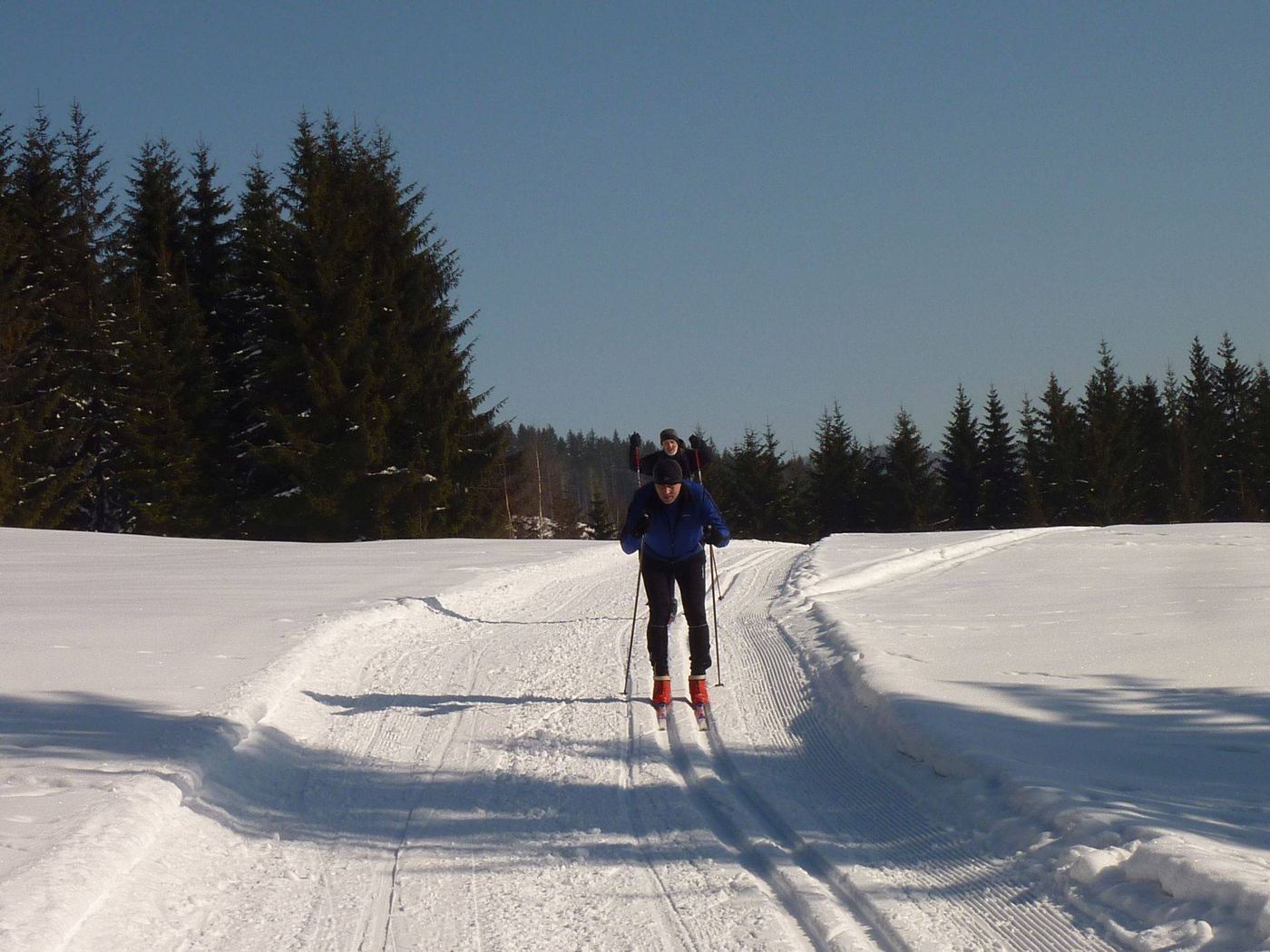
Cross-country loops of 10, 16, 20 and 33 km are machine-groomed, usually on Tuesdays and Fridays and after about 20 cm of fresh snow.

Bílá panorama

Current conditions
skibila.cz

Cross-country ski trails

Most trails in the area are not regularly maintained, so their routes and distances are only approximate. Follow the rules for moving around in the countryside: do not set out without a good map and suitable clothing, do not overestimate your strength, and before you head out on cross-country skis or to the slopes, let friends or the lodge manager know where you are going and when you will be back. Do not damage the track by walking in it or by letting dogs run loose. A skier going downhill has right of way over one going uphill; when passing in a single track, move aside to the right. The skier in front does not have to give way to the one behind unless there is a risk of injury.

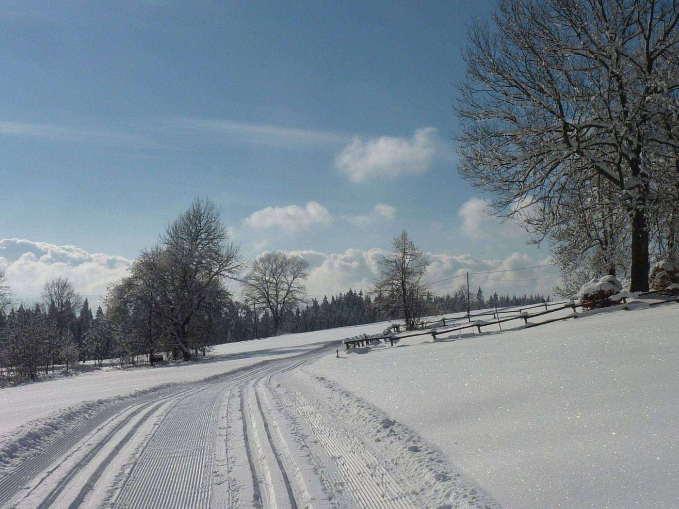
The exception is the main ridge section Gruň, Bílý kříž, Doroťanka: since the 2023/2024 season it has been machine-groomed by the Gruňský ledovec z. s. association, on a voluntary basis and with support from the Moravian-Silesian Region. Check the current state of the track on mapy.cz (winter layer) or on bilestopy.cz. The ridge trails link up with the Beskydská magistrála network, roughly 300 km of groomed trails in nine areas of the Beskids.

Starting point of the trails below: Dům sv. Josefa (DsJ).

1) Towards Velký Polom

Malý Polom and back22 km

DsJ → Bílý kříž junction (, 5 km) → Malý Polom (, 6 km) and back the same way.

Malý Polom with a detour into Slovakia27 km

Past Malý Polom (11 km), turn right and follow the red trail for 2.5 km, then turn onto the blue trail and after 2 km onto the green one. In the Slovak hamlet of Žižkovci (5 km), turn right towards the hamlet of Marejkovci (2 km) and continue along a forest track back to the state border (4 km). Return along the blue trail via Bílý kříž.

To Hotel Tetřev49 km

From Malý Polom (11 km), carry on to the right along the red trail to Velký Polom (11 km), Hotel Tetřev (2.5 km) and back.

To the Slavíč lodge38 km

Past Malý Polom (11 km), turn left along the red trail to the Slavíč lodge (8 km) and back.

From Slavíč to the Morávka reservoir60 km

For the indestructible: along the blue groomed cross-country trail to the Morávka reservoir (11.5 km) and back the same way, or join the green-marked maintained trail beyond the Morávka dam, which climbs the slopes of Travný.

From Slavíč to the Kozinec lodge61 km

Along the red trail; past Kalužný vrch (4 km) turn right onto the blue trail and continue via the Ostrý lodge (3.5 km) to the Kozinec lodge (5.5 km) and back.

From Slavíč to the Javorový lodge68 km

Along the red trail via Kalužný vrch (4 km); past Smrčina turn right onto the blue trail and continue via Javorový vrch (9 km) to the Javorový lodge (2.5 km) and back.

From Slavíč to the Na Kotaři lodge69 km

Along the red trail via Kalužný vrch (4 km) to the Ropička lodge (9 km) and the Na Kotaři lodge (3 km) and back.

2) Towards Visalaje

Lysá hora34 km

DsJ → Bílý kříž junction (, 5 km), turn left along the red trail to the Visalaje junction (2 km), then continue along the red trail to Lysá hora (10 km) and back.

Travný43 to 44 km

From the Visalaje junction along the green trail to Hotel SME (1 km); from here a green-marked maintained cross-country trail runs along the western slope of Travný: the V Travném lodge (4 km), junction with the blue trail (10 km). Back the same way (44 km), or over the summit of Travný along the blue trail (4.5 km) and along the green trail to the Visalaje junction (9.5 km), Bílý kříž junction (2 km), DsJ (5 km), 43 km in total.

3) Towards Konečná, Bobek, Bumbálka

Loop via Konečná and Bobek29 km

DsJ → Bílý kříž (, 5 km) → Doroťanka lodge (, 4 km) → Pod Konečnou lodge and Na Baraní lodge (5 km) → Bobek (4 km), then along the blue trail to a three-way junction (2 km), leave the blue trail to the right and continue until you reach the green trail (3 km). From the Černá junction (1 km) along the blue and then the yellow trail to Janikula (3.5 km) and on to DsJ (1.5 km). You can also carry on along the blue trail all the way to Bílá (2 km), where there is a lodge and a hotel.

Bumbálka and beyond50 km

From the summit of Bobek along the red trail to the Kmínek lodge (7.5 km), the Sněžná lodge (0.5 km), Hotel Masarykova chata (1 km), the Bumbálka lodge (1.5 km) and back via the Černá junction.

All year round

Photos from the area

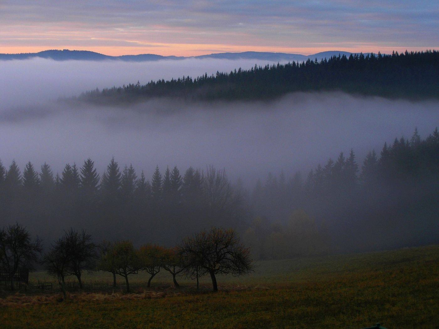
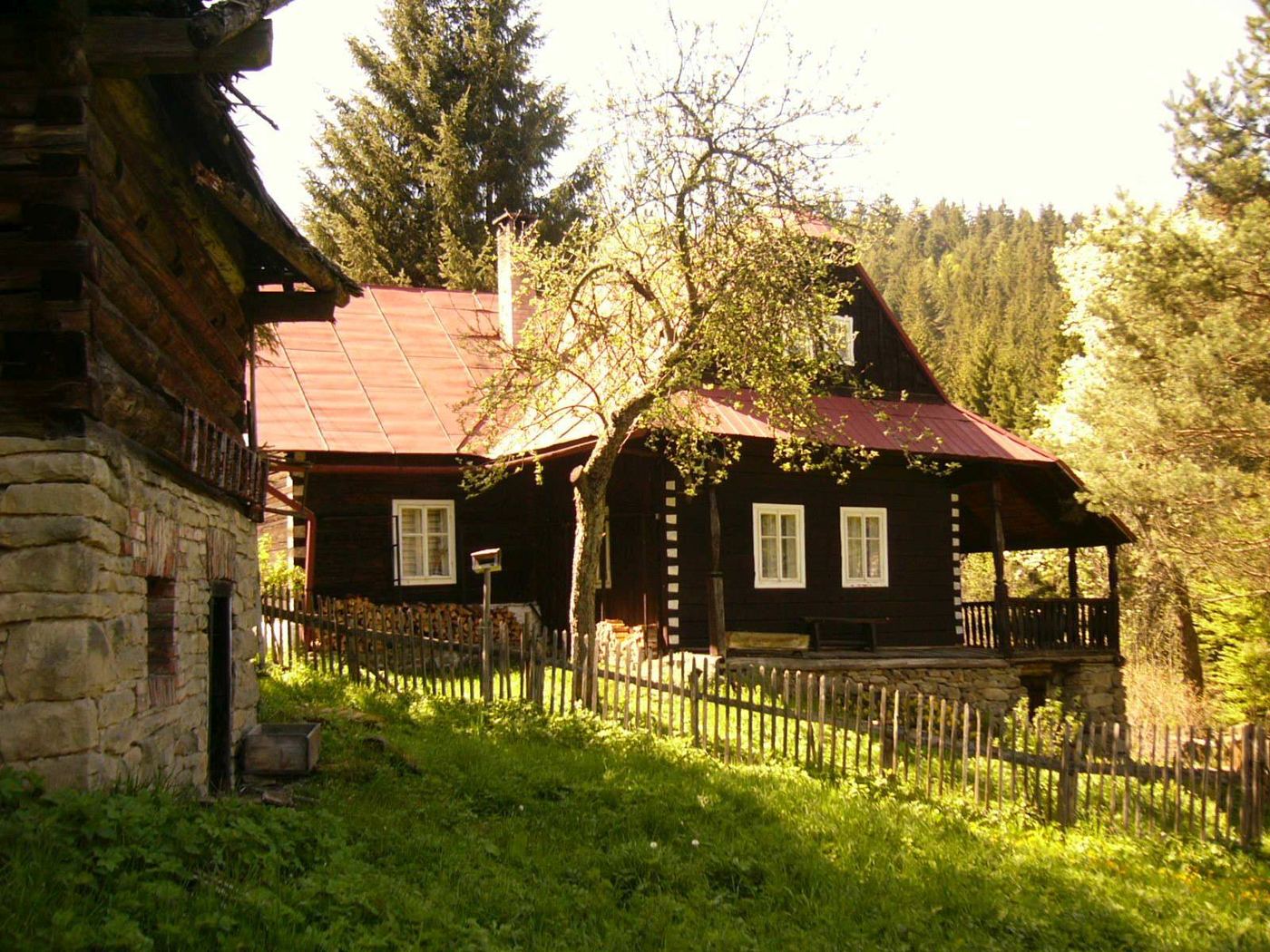
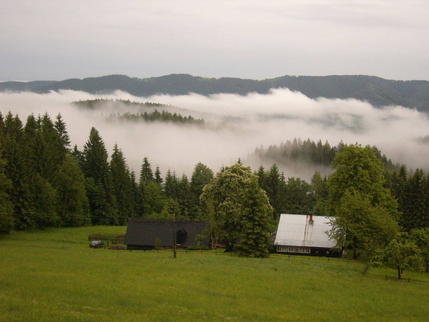
A few shots of what Gruň and the surrounding ridges look like in different seasons.

Through the year

Events on Gruň

Three that are worth coming here for.

Gruň náš šumný jediný

An all-day family festival held by the municipality of Staré Hamry, traditionally on the last Saturday in August. Music, competitions for children and adults, crafts, sheep products and a tour of the little church.

Historical skiing

In January the Gruňský ledovec slope turns into a period spectacle: the international championship in historical skiing is organised by the Elegant association.

Pilgrimage at the little church

On the Sunday before the feast of Our Lady Help of Christians (24 May), a pilgrimage is held at the wooden church, a tradition revived by our association Most a Cesta.

Plan your stay

Call +420 731 604 114 or write to us. We will get back to you as soon as we can.